Tectonic boundaries, tectonic faults, geological faults – the allegedly so solid shell of our Earth is interspersed with cracks, fractures and openings. The same holds true for the sea floor. There these faults provide the sea water with a passage into deeper rock layers, in part reaching the Earth’s mantle. It is important to know more about these processes because the sea water can transform the composition of the rock. Moreover, on its way back it transports substances up to the sea floor which can become the basis for entire ecosystems.
An international science team under the leadership of the University of Southampton and with the participation of the GEOMAR Helmholtz Centre for Ocean Research Kiel has now succeeded in providing direct evidence that fault activities are directly linked to the amount of sea water which infiltrates the underground. The study will appear in the international journal Nature Geoscience today.
The basis for the study is a comprehensive seismic research campaign in which project partners from the USA, Great Britain and from the GEOMAR studied the sea floor west of Galicia (Northern Spain) in 2013. Co-author Dr. Dirk Klaeschen of GEOMAR explains the choice of the territory studied: “Portugal and Spain were separated from Newfoundland during the formation of the Atlantic Ocean about 150 million years ago. Traces of these processes can still be found in Northern Spain today“.
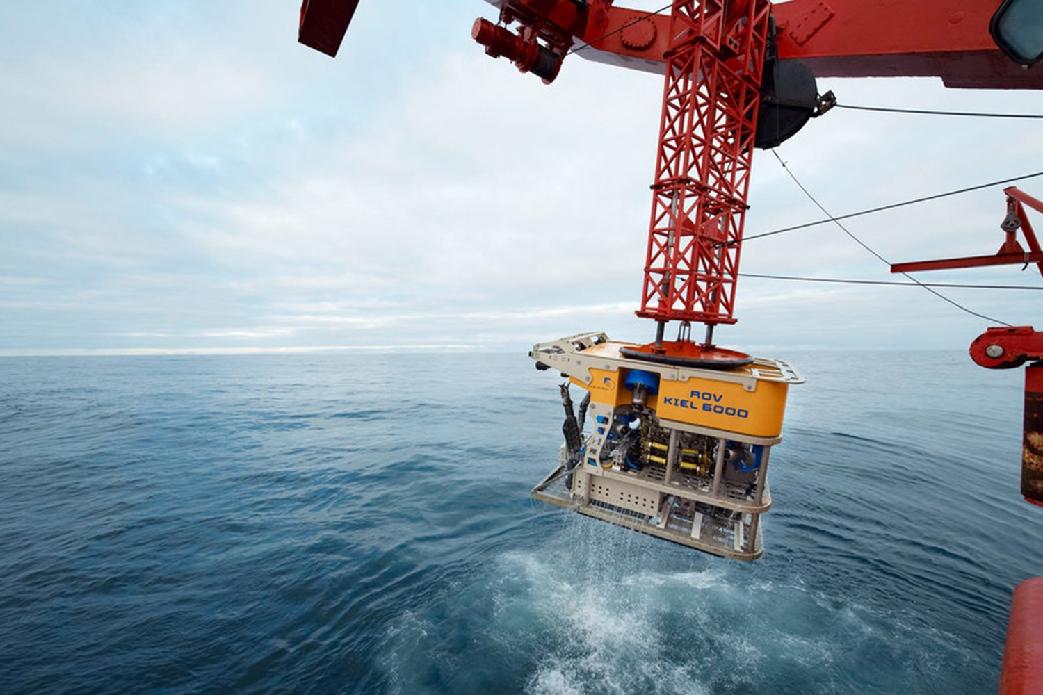
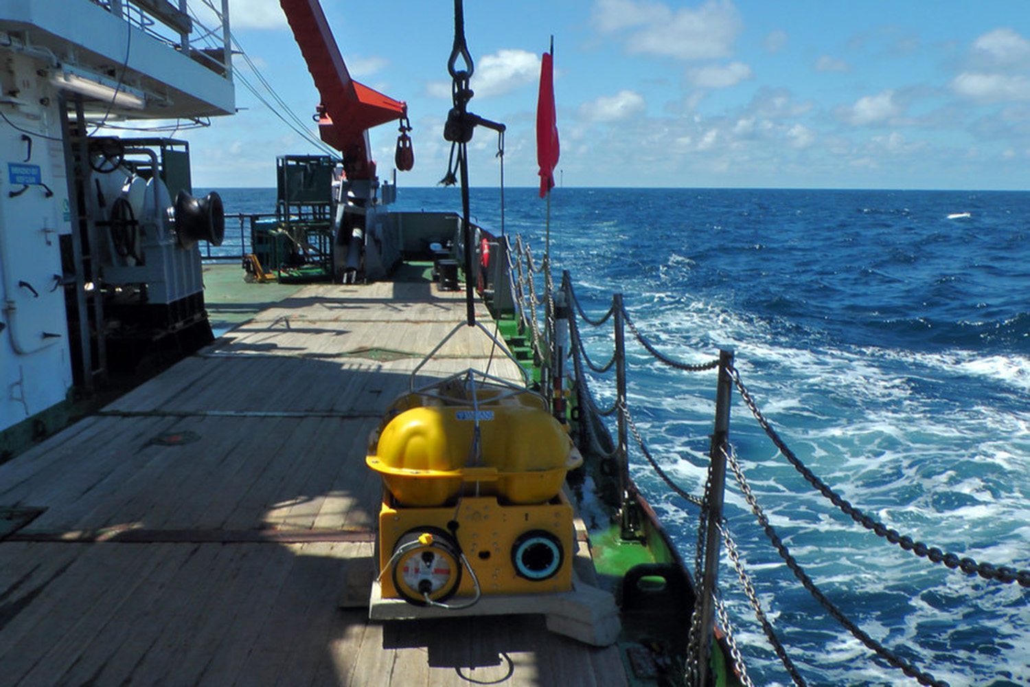
During the campaign the American research ship MARCUS G. LANGSETH (National Science Foundation) sent special acoustic waves deliberately into the sea floor which were reflected differently by different layers of the underground. In total 78 ocean bottom seismometers, which had been put in place by the GEOMAR-based research vessel POSEIDON, registered the seismic waves. “In this way we received a 3-D image of the sea floor and the deeper structures up to 12 kilometers deep“, explains Dr. Cord Papenberg, also a co-author from GEOMAR. The territory studied comprises an area of 86 by 22 kilometers.
Because sea water transforms a particular type of rock of the upper Earth mantle, the so-called periodite, into another type of rock called serpentinite, the scientists were able to use the amount and the distribution of the serpentinite as an indicator for the paths and amounts of the sea water in the underground. The studies showed that the amount of transformed rock at the lower end of each distortion is directly linked to the size and the duration of the geological fault activity.
“We already knew that the sea floor off Galicia is full of faults and we already knew that there are serpentinites in the underground there. But until now we knew neither their distribution nor the relation to the size of the faults,” explains Dr. Klaeschen.
Furthermore, the scientists were able to estimate the average amounts of sea water which permeate into the Earth mantle. These amounts can be compared to those in other tectonic surroundings, such as the mid-ocean ridge. “There the water in the underground is heated to high temperatures, dissolves many substances from the rock and deposits them on the sea floor later, where the famous ‘black smokers’ can be formed,” explains Dr. Klaeschen, “apparently there are similar active systems at other fault zones, which were not known until now. Further studies will have to show how widespread these systems are in the world’s oceans.”
Original work:
Bayrakci, G., T. A. Minshull, D. S. Sawyer, T. J. Reston, D. Klaeschen, C. Papenberg, C. Ranero, J. M. Bull, R. G. Davy, D. J. Shillington, M. Perez-Gussinye and J. K. Morgan (2016): Fault-controlled hydration of the upper mantle during rifting. Nature Geoscience, http://dx.doi.org/10.1038/ngeo2671
Links:
www.geomar.de The GEOMAR Helmholtz Centre for Ocean Research Kiel
Images:
Images can be downloaded at www.geomar.de/n4313.
Contact:
Jan Steffen (GEOMAR, Communication & Media), Tel.: 0431 600-2811, presse@geomar.de
…