There have already been seven eruptions since the turn of the millennium – Mount Etna lives up to its reputation as Europe’s most active volcano. Time and again, streams of lava destroy houses, streets and other infrastructure in the immediate surroundings. Since the coastal region at the foot of Mount Etna with the island capital Catania has about one million inhabitants and is among the most important industrial centers in southern Italy, scientists and public authorities monitor the volcano intensively. On land, for example, stations are used to accurately register every movement of the mountain with the help of satellite navigation.
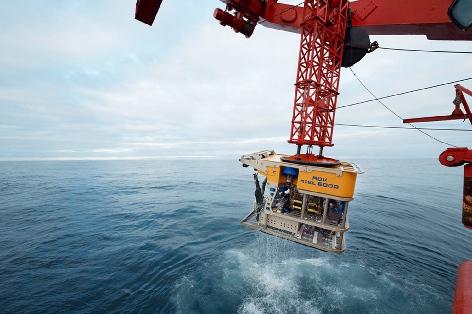
Kiel’s marine scientists are now going to expand these measuring networks off the coast of Sicily under water. For this new systems will be used which, have also been installed in a similar form several months ago on the sea floor in regions prone earthquakes off the coast of Istanbul and northern Chile. “Signals from navigation satellites do not permeate the water. For this reason, it was difficult to measure movements and deformations of the sea floor under water until now. We are now using an acoustic variant which opens up new possibilities for studying natural hazards in the sea,” explains project leader Dr. Morelia Urlaub from GEOMAR Helmholtz Centre for Ocean Research Kiel.
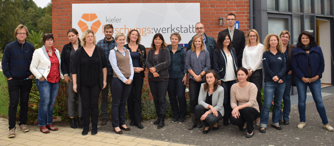
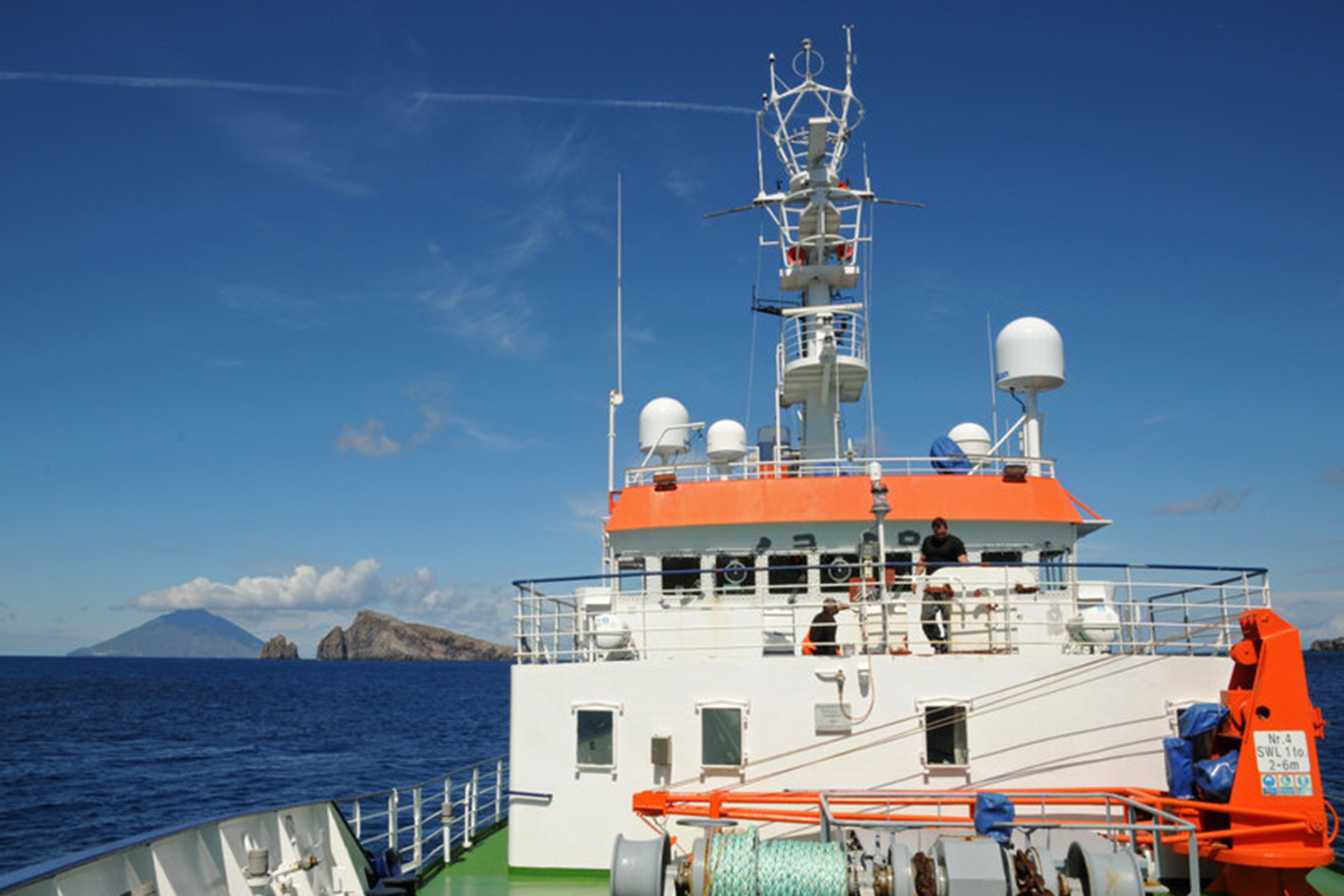
During expedition POS496 of the Kiel-based research ship POSEIDON, researchers will lay out in total six of these geodesy stations in water depths of about 700 meters of the eastern coast of Sicily. “We are putting them down on the, so to speak, eastern underwater slope of Mount Etna,” explains Professor Sebastian Krastel from the Institute for Geosciences at Kiel University who is leading the expedition.
The measuring stations on land indicate that this slope of the volcano is unstable and is moving in the direction of the sea. “But until now nobody knew if this movement has had an underwater effect and what effect this might be. This is what we want to investigate,” adds Dr. Urlaub. By means of acoustic signals the six geodesy instruments measure the distance to one another with the precision of fractions of a millimeter. Three earth inclinometers and six ocean floor seismometers, which can also recognize very small oscillations in the underground, complete the measuring network.
In particular the movement of the volcano slopes poses a potential threat to the whole region in addition to the actual eruptions. A quick landslide under water can trigger a tsunami. It would hit densely populated coasts surrounding the Mediterranean Sea which are additionally frequented by millions of tourists in the summer months. “The idea of a tsunami in the Mediterranean Sea is not plucked out of thin air. In 1908 an earthquake in the Strait of Messina set off a tidal wave which killed approximately two thousand people,” says Professor Krastel.
Marine geodesy, measurement with acoustic signals under water, is still a quite new technique in the research of natural hazards. “We hope that we will be able to significantly expand our knowledge about the movements of Mount Etna as a result,” emphasizes Dr. Urlaub.
Expedition at a glance:
POSEIDON Expedition POS496
Research topic: natural hazards at Mount Etna
Scientific expedition leader: Prof. Sebastian Krastel (Kiel University)
Project manager: Dr. Morelia Urlaub (GEOMAR)
Start: March 24, 2016, Malaga (Spain)
End: April 04, 2016, Catania (Italy)
Links:
www.ifg.uni-kiel.de The institute for Geology at Kiel Universityl
Contact:
Jan Steffen (GEOMAR, Communication & Media), Tel.: 0431 600-2811
presse@geomar.de
…