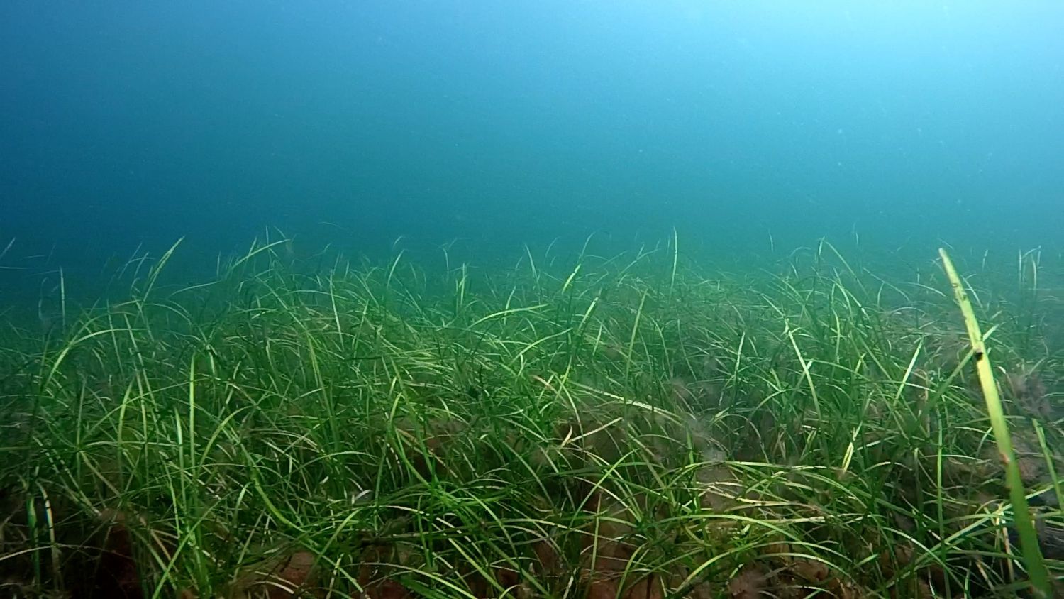
The European project ECOMAP, which is coordinated at Kiel University, is testing new methods of efficient and precise mapping of seagrass meadows that were developed in cooperation with partners in Poland and Germany. These show that the area coverage of seagrass meadows can be mapped with previously unreached efficiency and accuracy in the decimeter range.
"Our aim is to ensure a high precision in our methods which allows us to draw baselines of the current stocks and document larger areas. In order to achieve this, we are developing echosounding techniques for better mapping the sea floor and aquatic vegetation," states ECOMAP project leader Dr. Jens Schneider von Deimling, a geophysicist at the Institute of Geosciences at Kiel University. "The first results show that we have been able to assess the stocks area-wide and efficiently."
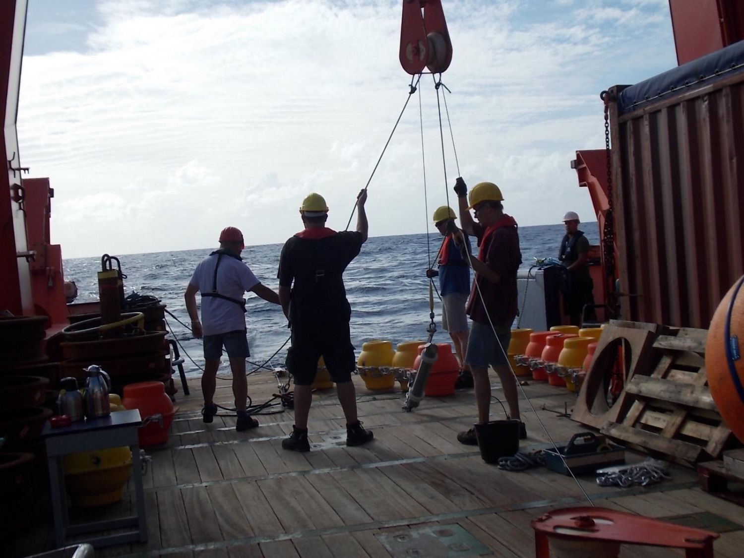
Apart from the advanced echosounder-based approach other methods such as dive, drone, airplane and satellite observations are regularly used for classification of selected seagrass meadows in Schleswig Holstein. Recently, the ECOMAP team returned from a research cruise on the Littorina with a new dataset for the coastal areas of Gelting Bay, Kalkgrund, Boknis Eck and Heidkate. For all these locations a new multibeam echosounder prototype was used to gather the data at a depth between 5 and 8 meters. Through the regular mapping of this baseline the scientists hope to assess whether stocks of seagrass, particularly Zostera marina, are migrating into deeper or shallower waters. The datasets collected from the research vessel using the multibeam echosounder prototype will be analysed at Kiel University using new algorithms and artificial intelligence and will be compiled with measurements taken from airplanes using the modern laser measurement devices (LIDAR), drone flight data (areal images) or from samples taken during dives. With these new methods and the complex processing of the data from various measurements the scientists are entering unknown territory. The long-term aim is to fully integrate methods to enable measurements of shallow water with its high plant biodiversity, lively upper layers of sediment to depths of about 2 meters and collect real-time data on the state of environmental health.
ECOMAP has received a total of 2.5 million euros in funding from the transnational research-and development programme in the Baltic area (BONUS) which has been funded by the EU for 3 years. Apart from partners in Germany like the GEOMAR Helmholtz Centre for Ocean Research in Kiel and the Leibniz Institute for Ocean Research in Warnemünde (IOW), international institutions from Poland and Denmark, as well as maritime agencies and stakeholders like the BSH, LKN and LLUR are involved. The results of the project are meant to contribute to the EU ocean strategy guidelines and support future ocean planning, coastal protection and the sustainable use of the Baltic sea. The research methods developed during the project are suitable for the entire Baltic sea and can also be adapted to all coastal areas world-wide. The results of these new methods, including the multibeam echosounder and others, have been published in a special edition about seafloor mapping in the scientific journal MDPI Geosciences.
Links
http://www.marinegeophysik.ifg.uni-kiel.de/en/projects/ecomap?set_language=en ECOMAP
http://www.kms.uni-kiel.de/en?set_language=en (Scientific Focus Kiel Marine Science/KMS)
Original publication
Held, P.; Schneider von Deimling, J.: New Feature Classes for Acoustic Habitat Mapping—A Multibeam Echosounder Point Cloud Analysis for Mapping Submerged Aquatic Vegetation (SAV). Geosciences 2019, 9, 235. https://doi.org/10.3390/geosciences9050235
Contact
Dr. Jens Schneider von Deimling
Institute of Geosciences
Kiel University (CAU)
jens.schneider@ifg.uni-kiel.de
…